Over 5 years of printing and framing
Designed in our Cotswolds studio
Over 560 4 & 5-star reviews
Free global delivery
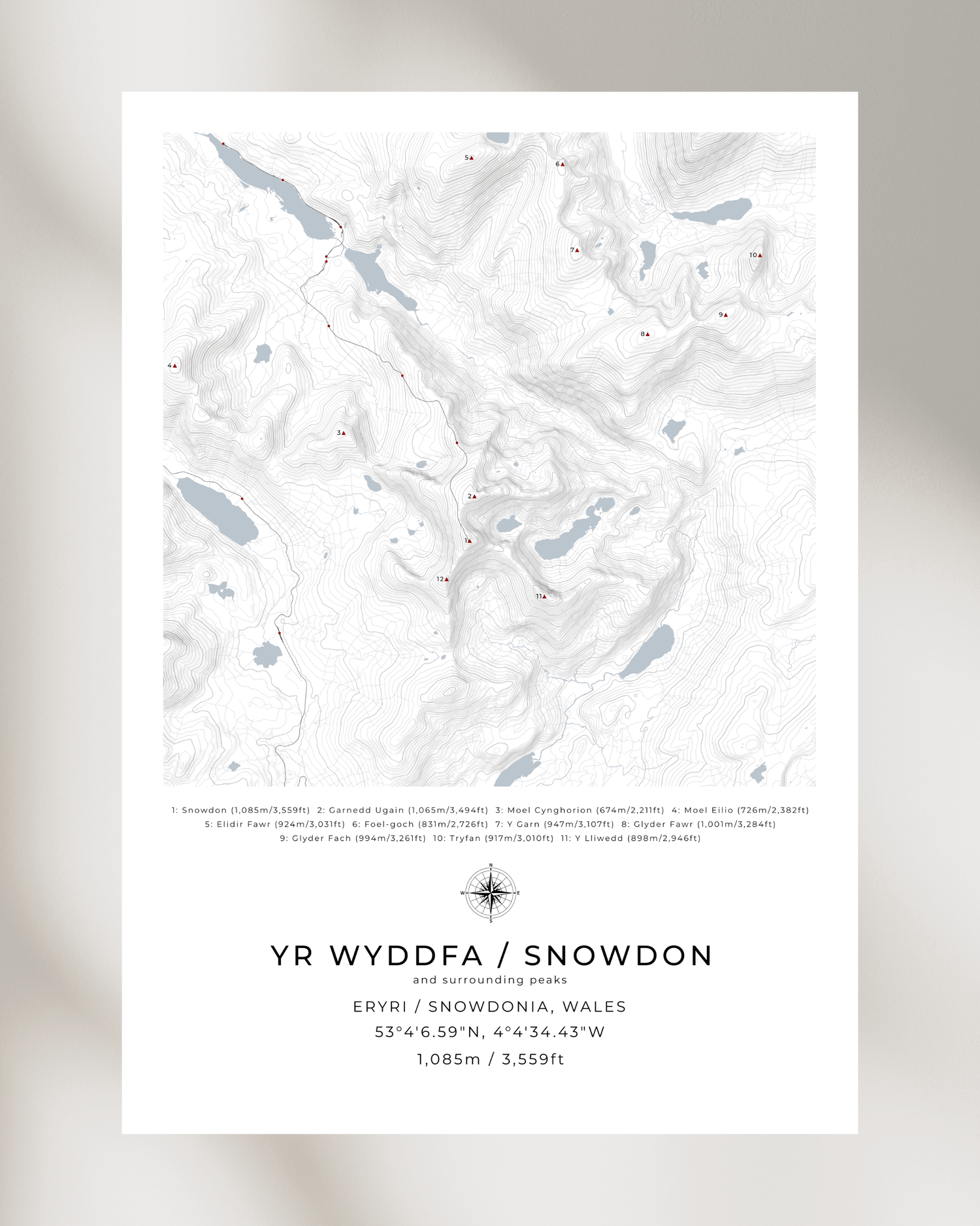
Snowdon/Yr Wyddfa & Snowdonia/Eryri Contour Maps
Discover our definitive collection of Snowdonia/Eryri mountain contour maps, celebrating the majestic peaks and iconic hiking routes of North Wales' most legendary mountain landscape.
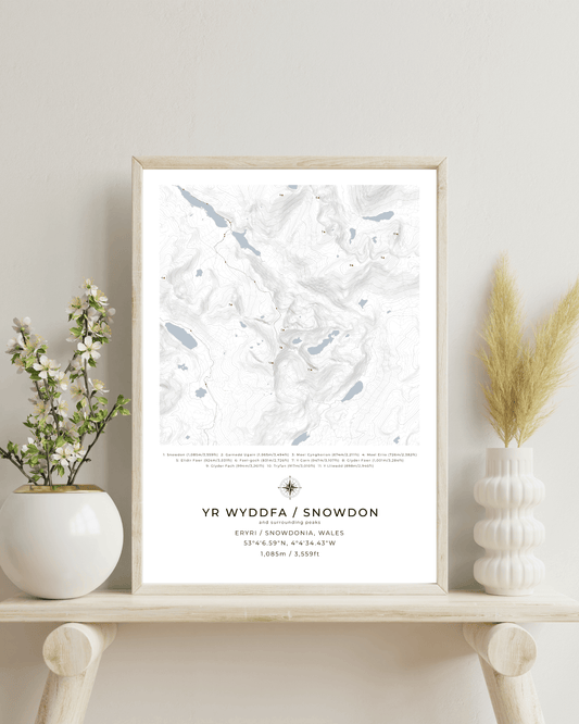
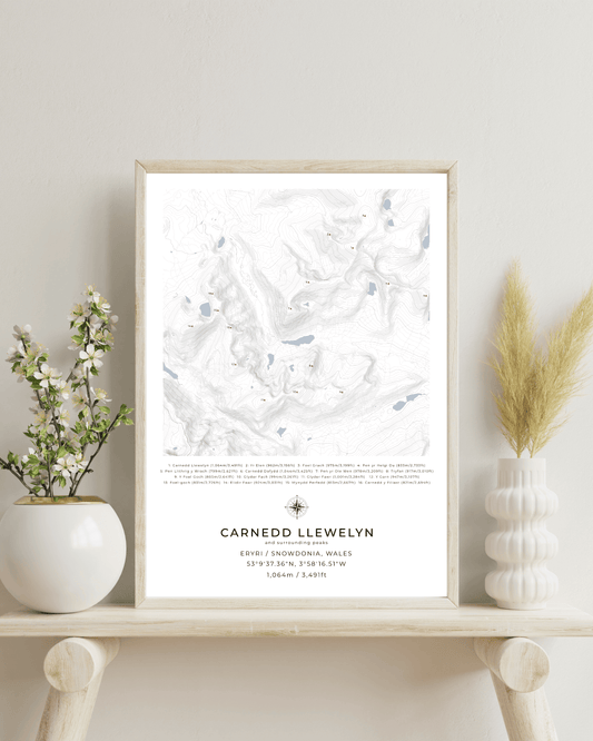
These meticulously crafted topographic prints showcase the dramatic terrain of Snowdon/Yr Wyddfa (1,085m) and surrounding peaks like Carnedd Llewelyn (1,064m), Tryfan (918m), and Y Garn (947m).
-
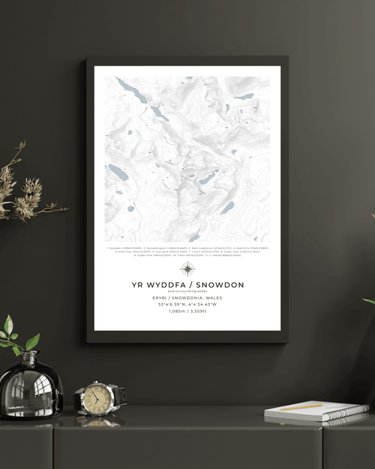
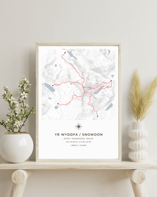
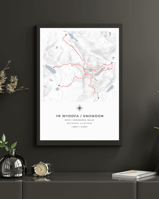
Yr Wyddfa / Snowdon & surrounding peaks - Contour Map Print
Regular price From £30.00 GBPRegular priceUnit price per -
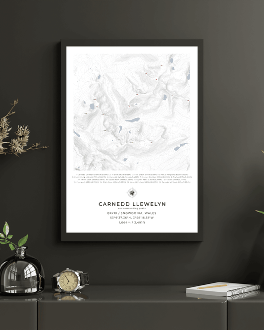
Carnedd Llewelyn & Surrounding peaks - Contour Map Print Poster
Regular price From £30.00 GBPRegular priceUnit price per -
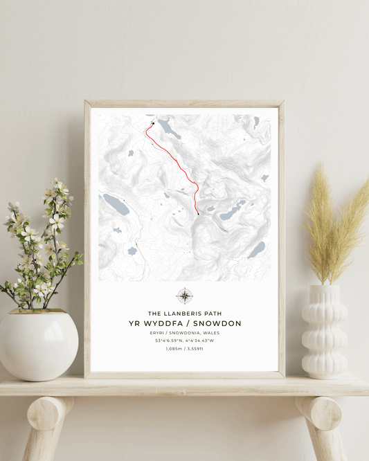
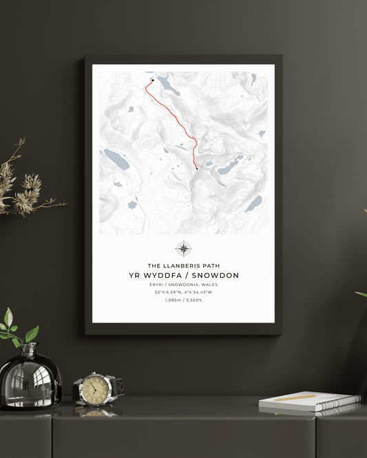
Snowdon - Llanberis Path Contour Map Poster
Regular price From £30.00 GBPRegular priceUnit price per -
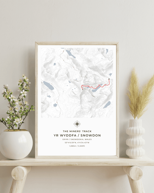
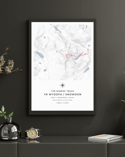
Snowdon - Miners' Track Contour Map Poster
Regular price From £30.00 GBPRegular priceUnit price per -
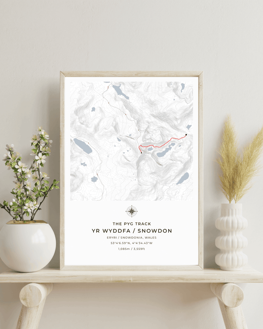
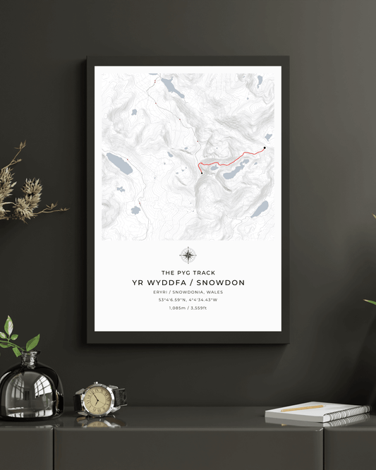
Snowdon - Pyg Track Contour Map Poster
Regular price From £30.00 GBPRegular priceUnit price per -
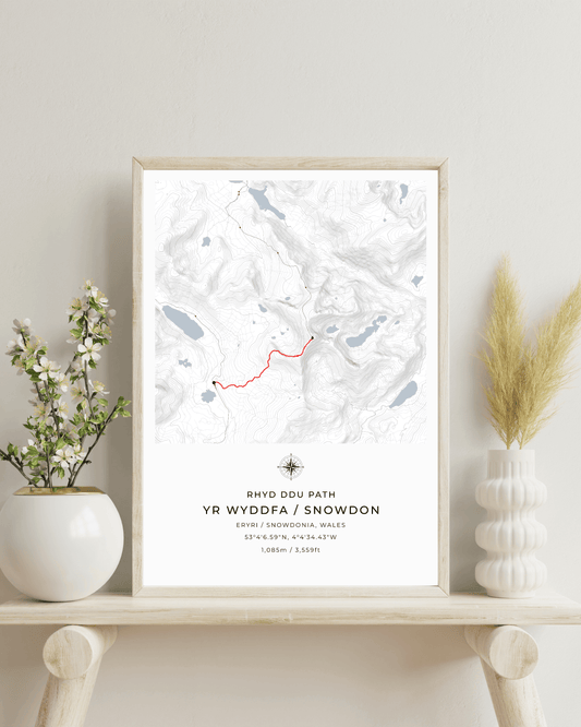
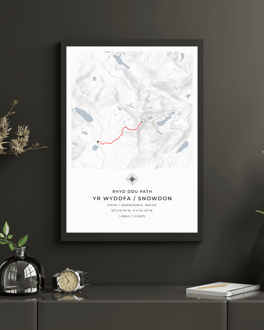
Snowdon - Rhyd Ddu Path Contour Map Poster
Regular price From £30.00 GBPRegular priceUnit price per -
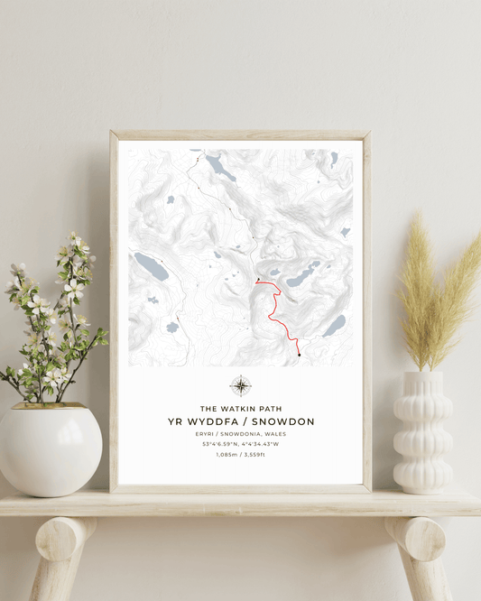
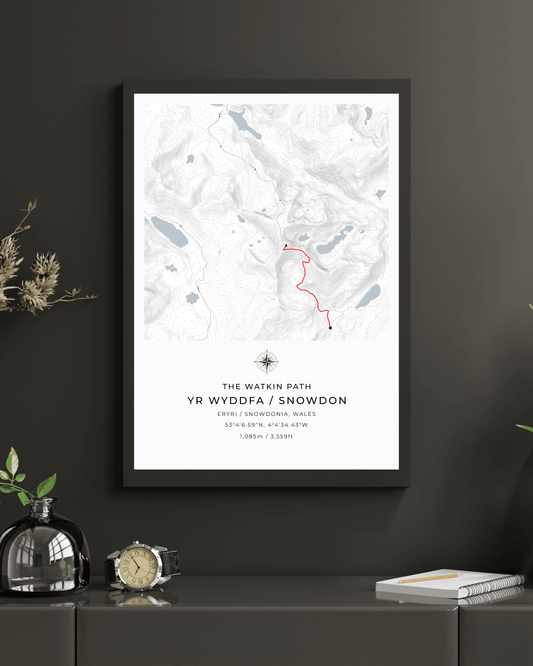
Snowdon - Watkin Path Contour Map Poster
Regular price From £30.00 GBPRegular priceUnit price per -
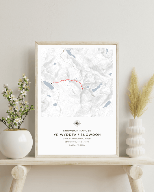
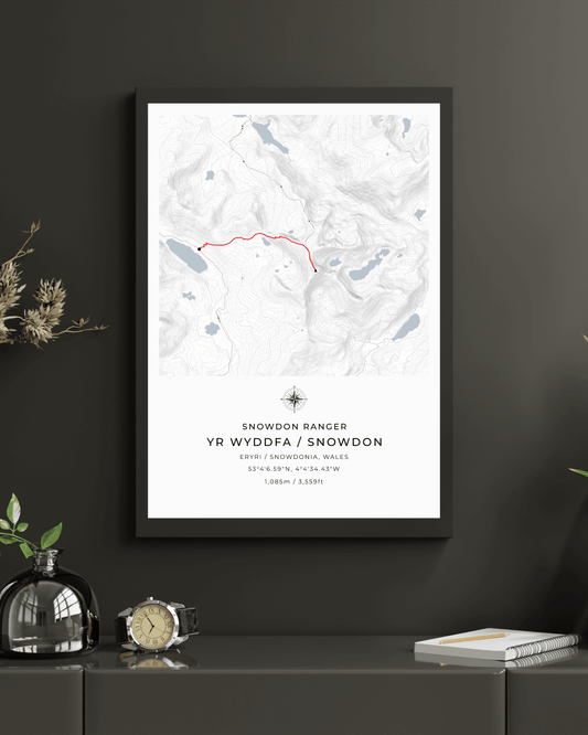
Snowdon Ranger Path Contour Map Poster
Regular price From £30.00 GBPRegular priceUnit price per -
Yr Wyddfa / Snowdon Route Map print poster
Regular price From £30.00 GBPRegular priceUnit price per -

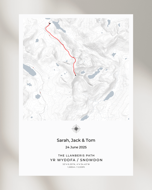 Design your own
Personalised Snowdon Route Map
Regular price From £30.00 GBPRegular priceUnit price per -
Snowdon / Yr Wyddfa - Contour Map Poster - Three Peaks Challenge
Regular price From £36.00 GBPRegular priceUnit price per -
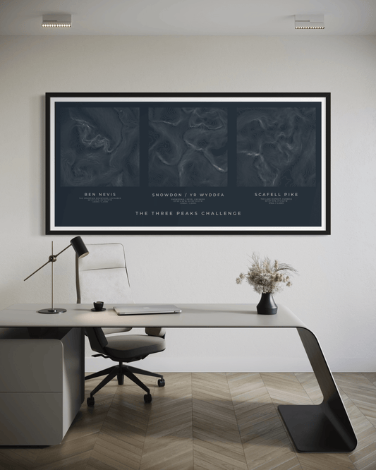
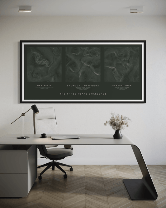
The Three Peaks Challenge - Summit Poster Print
Regular price From £46.00 GBPRegular priceUnit price per -
The Three Peaks Challenge - Summit Poster Print - White
Regular price From £46.00 GBPRegular priceUnit price per

