Over 5 years of printing and framing
Designed in our Cotswolds studio
Over 560 4 & 5-star reviews
Free global delivery

The Lake District Contour Maps
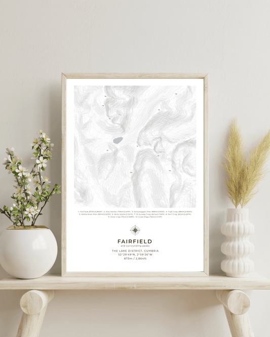
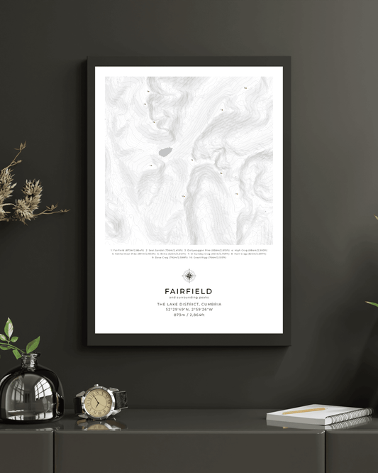
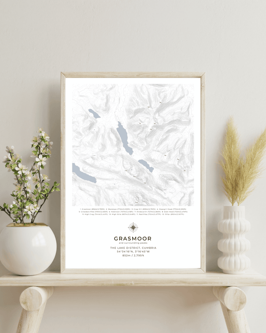
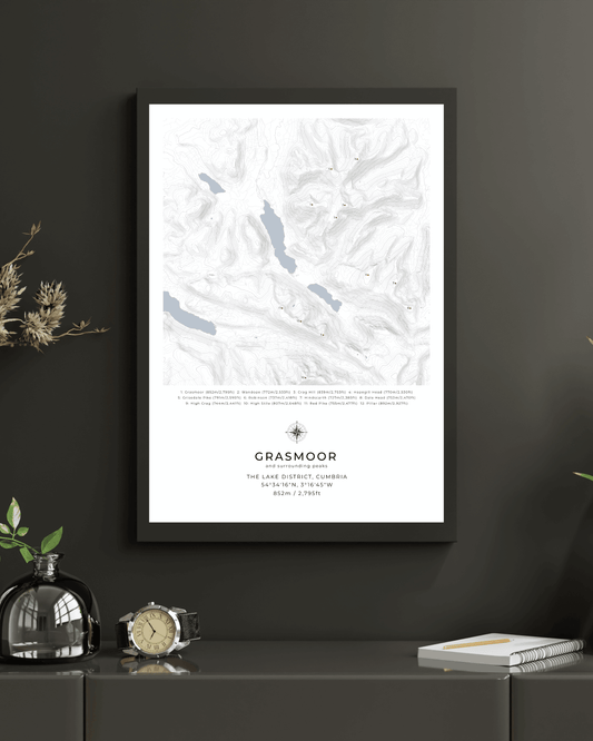
Discover our collection of meticulously crafted Lake District contour maps, featuring the most iconic peaks and fells of Britain's beloved national park. Each topographic print showcases the dramatic landscapes of Cumbria's finest peaks.
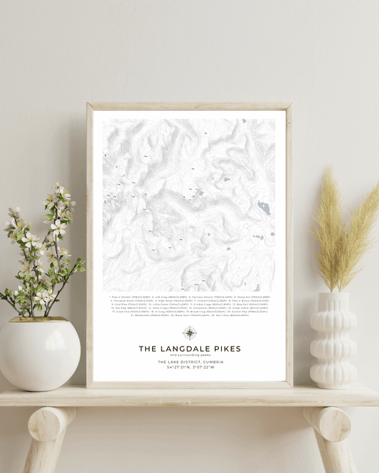
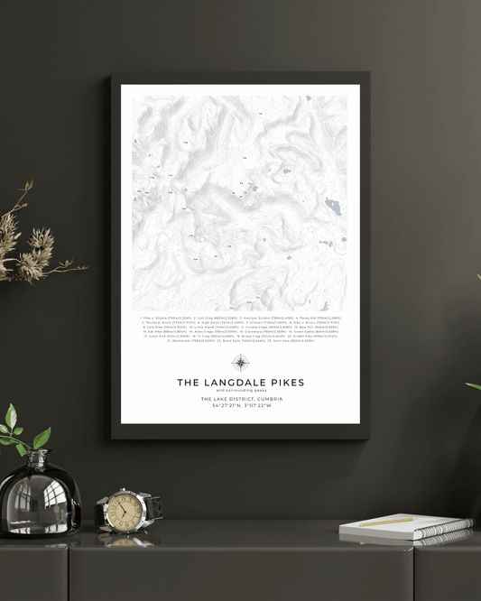
From the rugged beauty of Blencathra and the commanding presence of Grasmoor to the picturesque Langdale Pikes and the challenging ascent of Bow Fell, each map serves as both a practical reference and a stunning piece of wall art.
-
Fairfield & Surrounding peaks - Contour Map
Regular price From $44.00 USDRegular priceUnit price per -
Grasmoor & Surrounding peaks - Contour Map
Regular price From $44.00 USDRegular priceUnit price per -
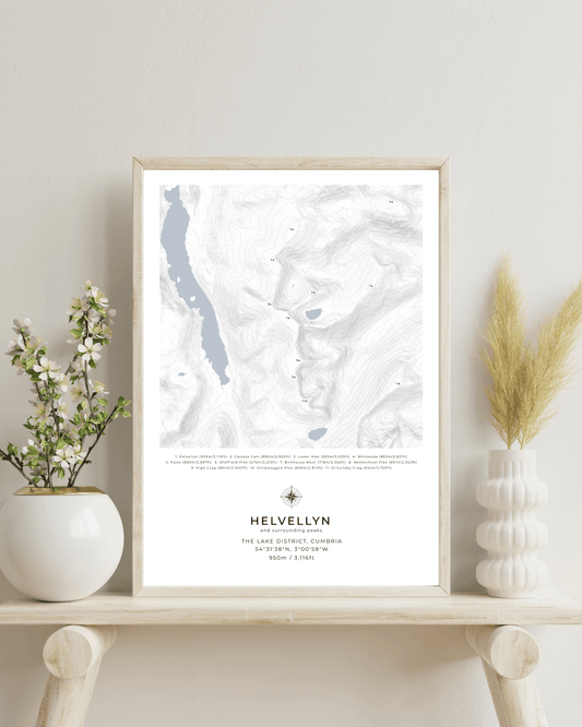
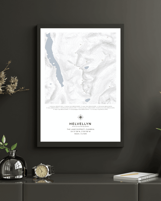
Helvellyn & Surrounding peaks - Contour Map
Regular price From $44.00 USDRegular priceUnit price per -
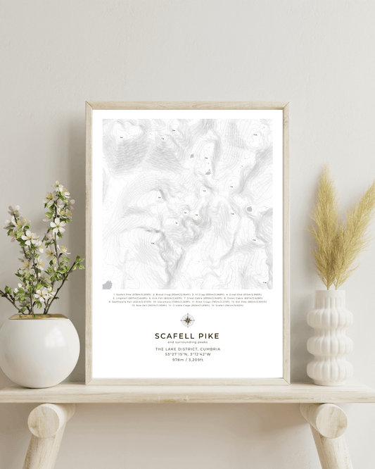
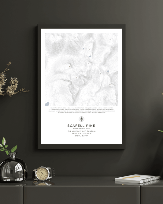
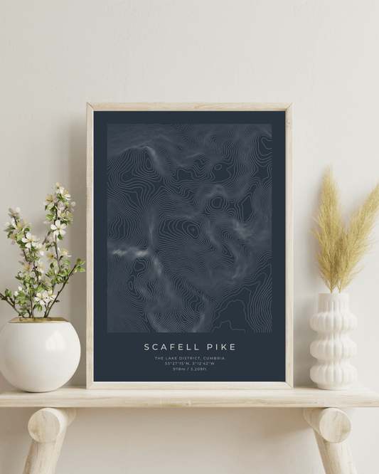
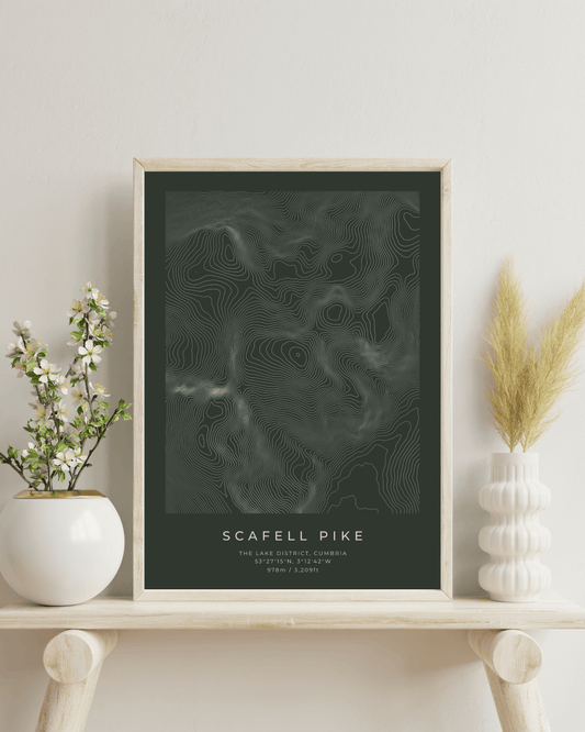
Scafell Pike & Surrounding peaks - Contour Map
Regular price From $44.00 USDRegular priceUnit price per -
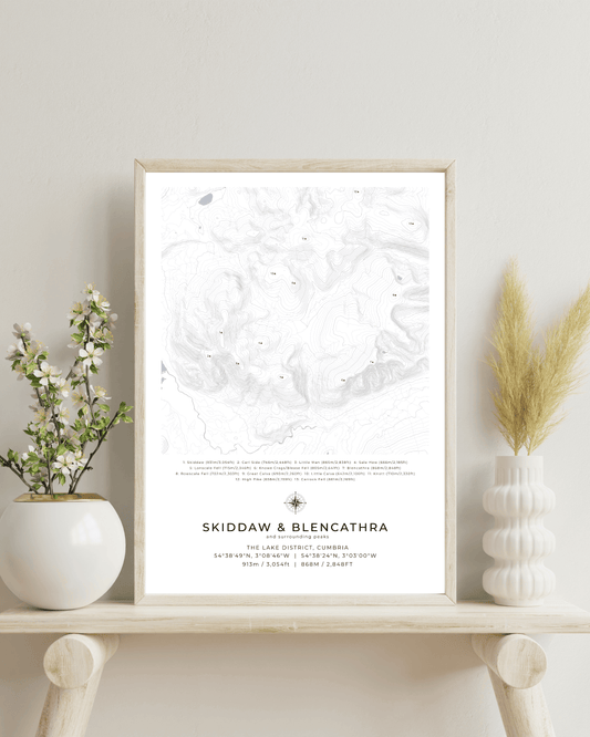
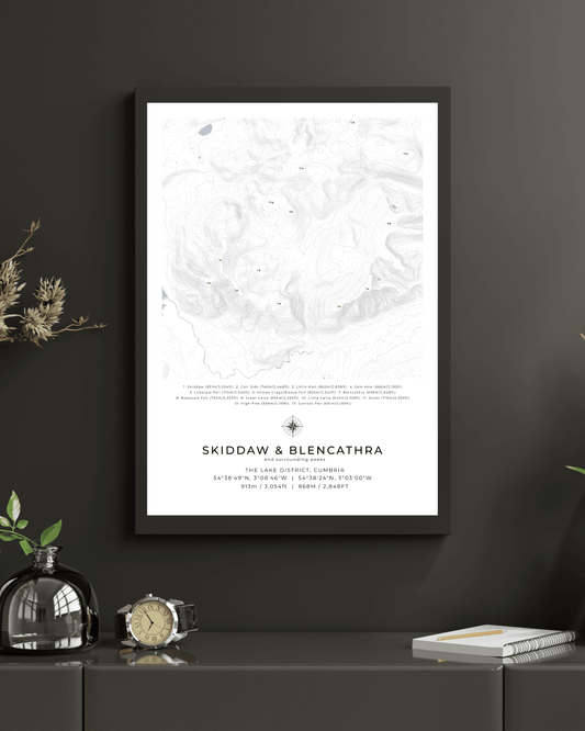
Skiddaw, Blencathra & Surrounding peaks - Contour Map
Regular price From $44.00 USDRegular priceUnit price per -
The Langdale Pikes & Surrounding peaks - Contour Map
Regular price From $44.00 USDRegular priceUnit price per -
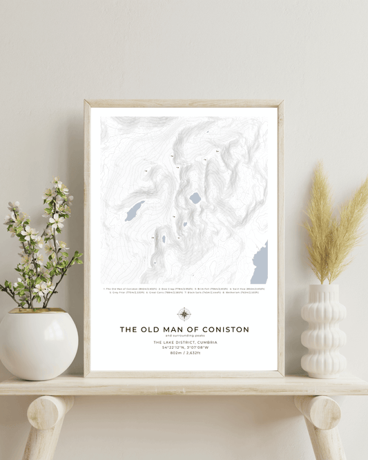
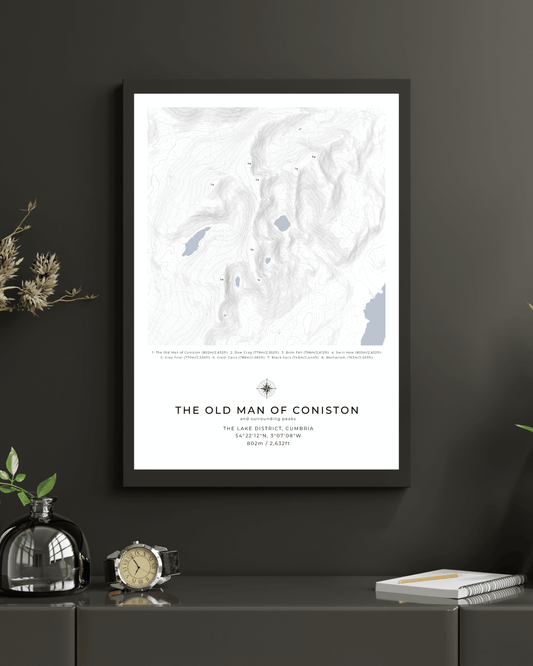
The Old Man of Coniston & Surrounding peaks - Contour Map
Regular price From $44.00 USDRegular priceUnit price per -

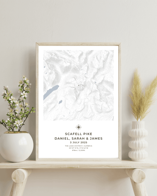 Design your own
Custom personalised map of Scafell Pike
Regular price From $44.00 USDRegular priceUnit price per -
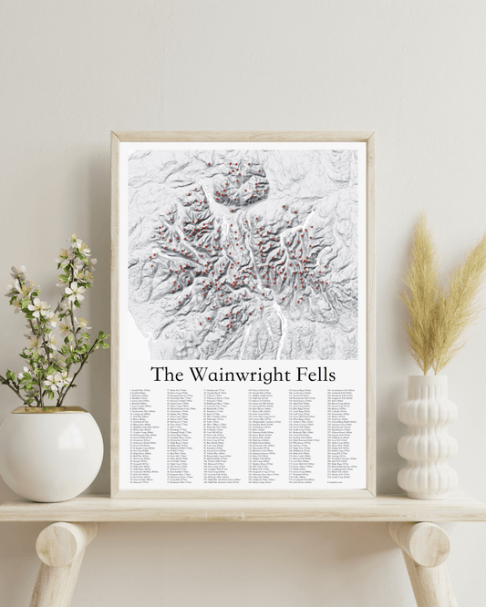
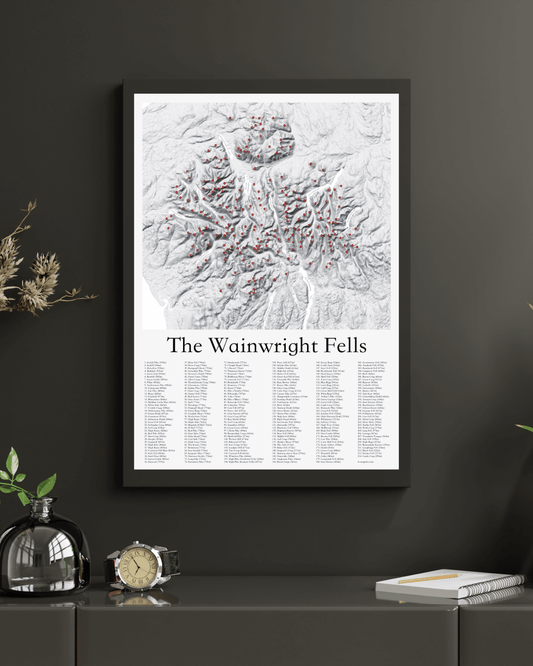
The Wainwright Fells - Fine Art Poster Print
Regular price From $62.00 USDRegular priceUnit price per -
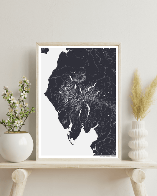
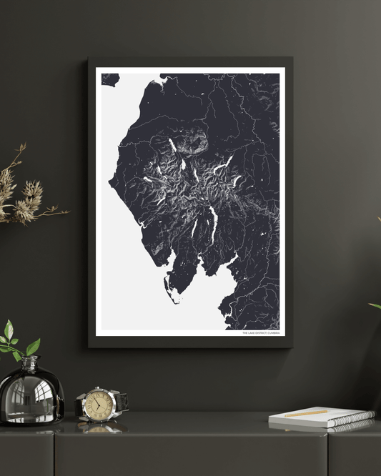
The Lake District - Fine Art Map
Regular price From $44.00 USDRegular priceUnit price per -
Scafell Pike - Contour Map Poster - Three Peaks Challenge
Regular price From $53.00 USDRegular priceUnit price per -
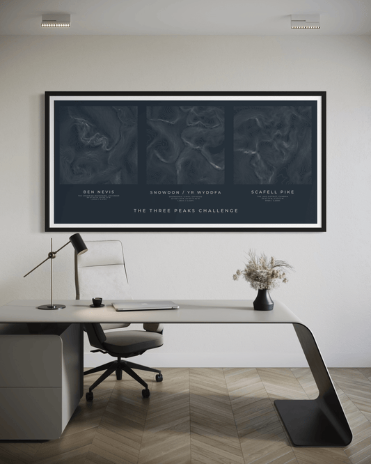
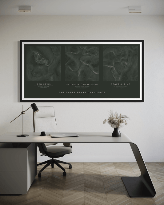
The Three Peaks Challenge - Summit Poster Print
Regular price From $68.00 USDRegular priceUnit price per -
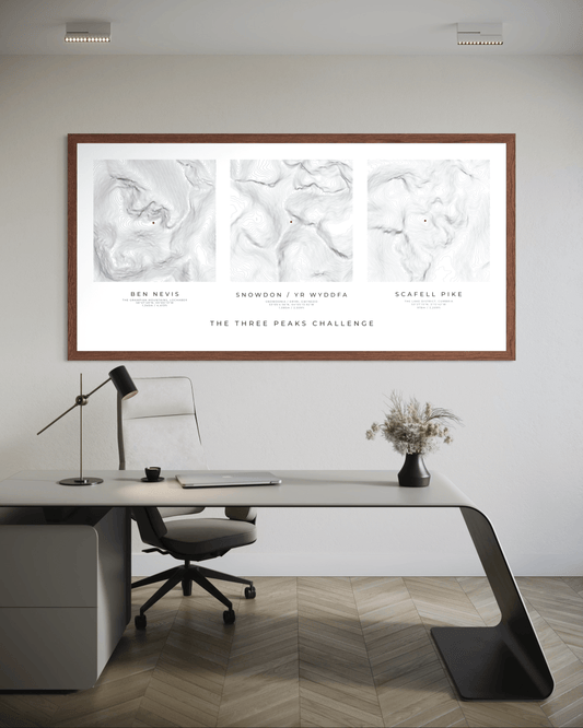
The Three Peaks Challenge - Summit Poster Print - White
Regular price From $68.00 USDRegular priceUnit price per

