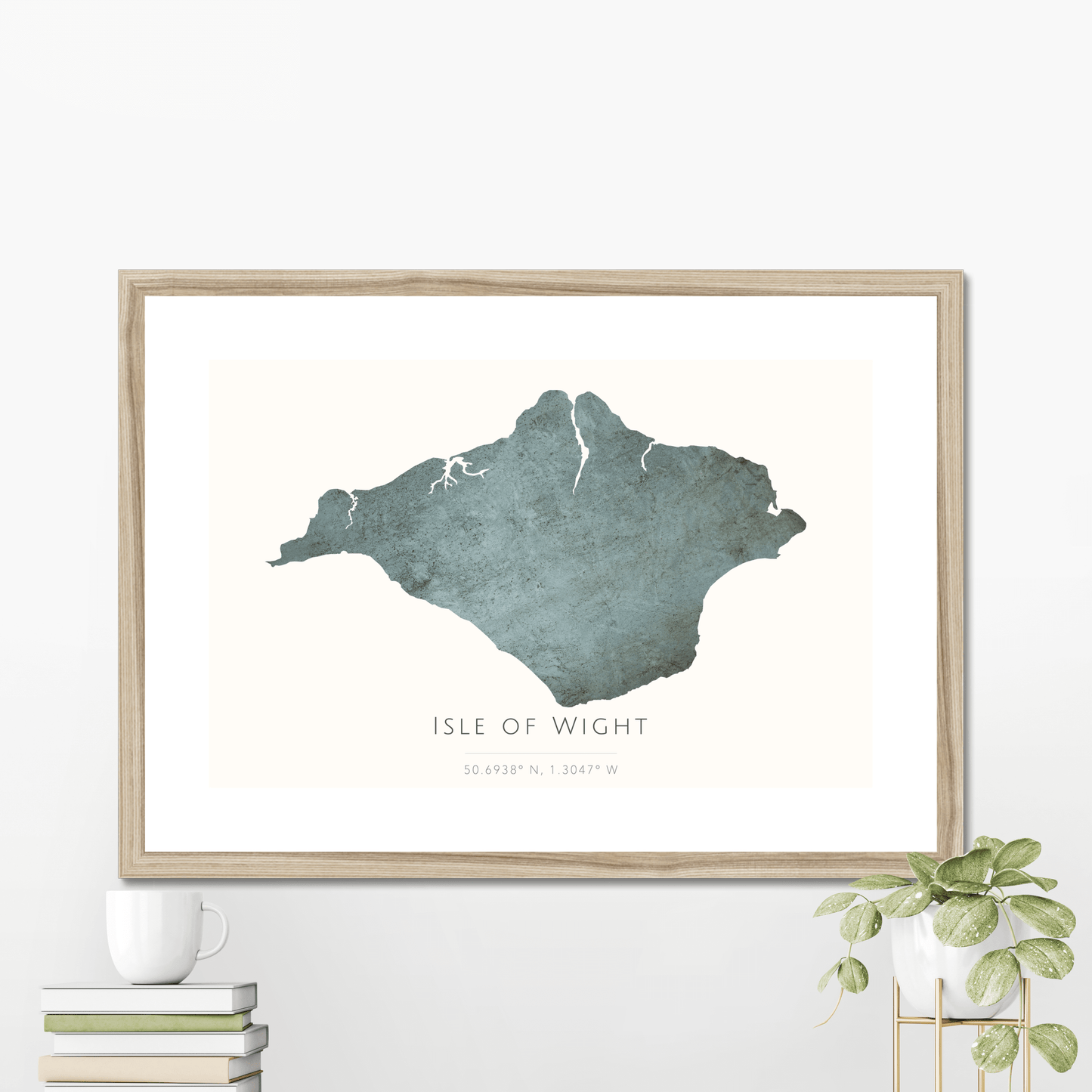
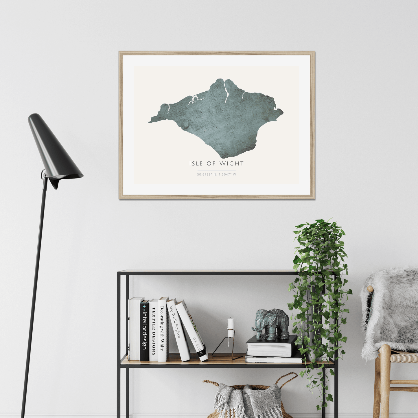
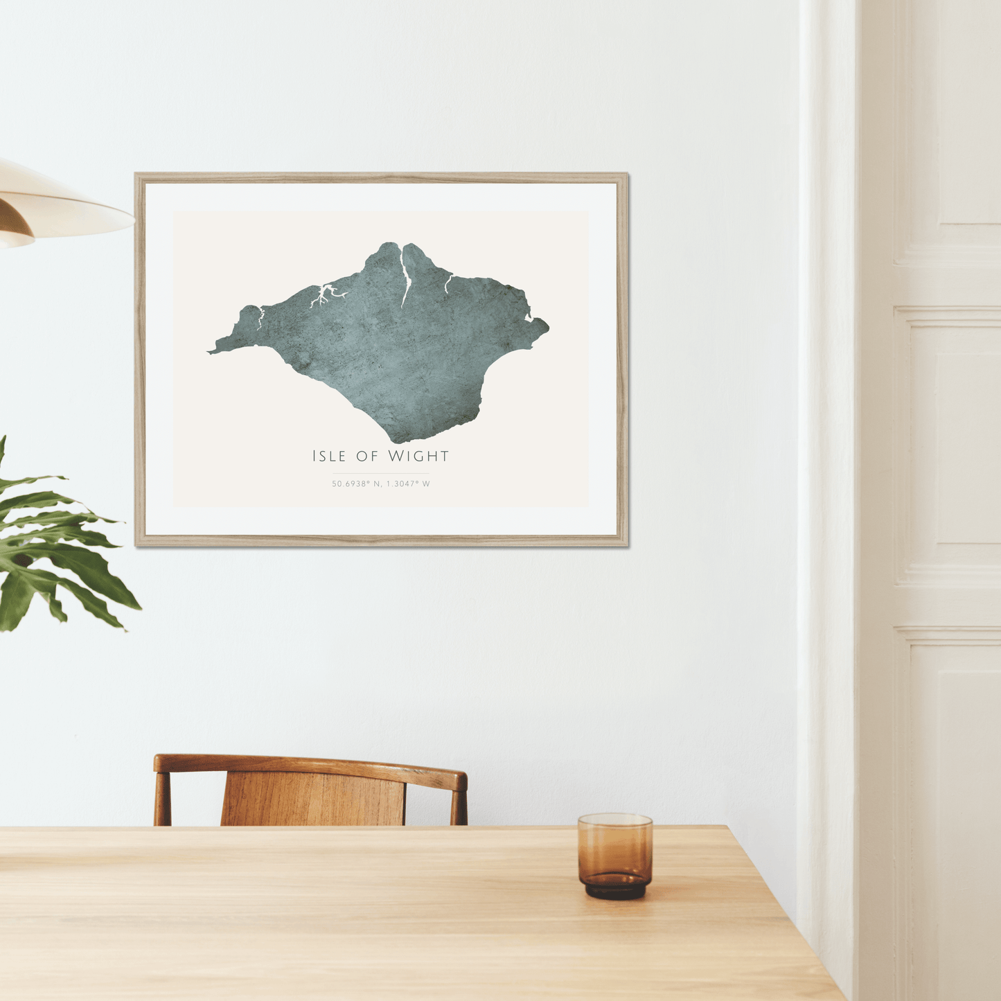
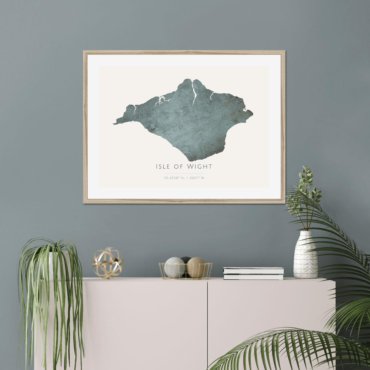
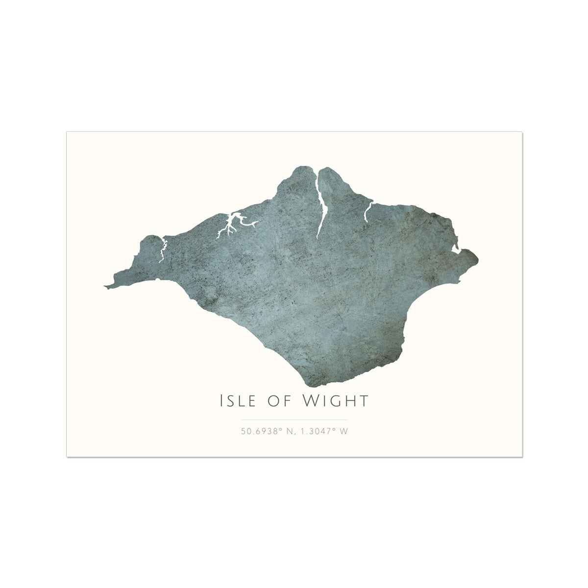
Map of The Isle of Wight - Fine Art Print
Map of The Isle of Wight - Fine Art Print
Get it delivered for FREE between -
Couldn't load pickup availability
- Handcrafted & Made to Order
- Free delivery in 2-5 business days
- 14-day returns policy
This beautiful print of The Isle of Wight has been carefully profiled to be fantastically accurate, and is created using advanced giclée printing techniques.
- A museum-quality fine art print paper (200gsm) with a textured, matt finish
- Delivered in a robust poster tube to ensure that it arrives with you in pristine condition
- An ideal addition to your home or as a gift to someone special.
All our prints are produced at pixel perfect resolution of 300 dpi (which is often much higher than most computer screens). Please note that this print comes unframed but you can purchase a framed version by heading to our framed print section.
Further information
Further information
Printing method: Giclée
Paper: 200gsm (5.9oz/yd) Fine Art Paper
Texture: Smooth
Finish: Matt
Print dimensions explained
Print dimensions explained
8"x12" (20.32cm x 30.48cm) which is similar to A4
12"x16" (30.48cm x 40.64cm) which is similar to A3
16"24" (40.64cm x 60.96cm) which is similar to A2
20"x28" (50.80cm x 71.12cm)
24"x32" (60.69cm x 81.28cm) which is similar to A1
Shipping
Shipping
Shipping is FREE to UK, US, Australia and EU countries.
Prices for other overseas addresses can be found by adding items to your cart and visiting the checkout (no registration required).
Your order will be with you within 4-10 business days (please note that this may be slightly longer during peak seasonal demand, or events outside our control).
For more information regarding shipping, please visit our Delivery & Returns page.
Sustainability
Sustainability
All our wood and pulp is sourced from sustainably managed forests.
Sustainably-managed forests meet the needs of wildlife while supporting livelihoods and providing many other ecosystem services, such as carbon storage and flood risk mitigation.
Our maps are designed and curated by Mapelio, and in some instances incorporate map data from OpenStreetMap for the purpose of accuracy.
Share
