
Where the Earth refused to settle: K2 and the Karakoram Range
The second-highest mountain on Earth is not second in any other respect. A journey into the geology, character and defining moments of the Karakoram - and the peak that continues to define the limits of human ambition.
There is a corner of the planet where the arithmetic of altitude becomes almost incomprehensible. In the borderlands where Pakistan meets China, in the far north of the subcontinent, the Karakoram range rises with a density and ferocity unmatched by any mountain system on Earth. This is not merely high ground. It is a place where geology operates at its most uncompromising - where the forces that built continents remain, in geological terms, unfinished.
The Karakoram is the product of one of the most consequential collisions in the planet's history. When the Indian tectonic plate drove northward into the Eurasian landmass, beginning roughly 50 million years ago, the resulting compression buckled the crust upward with extraordinary violence. The process is ongoing. The Karakoram continues to rise at a rate of several millimetres per year - an imperceptible movement in human time, but an immense restlessness in geological terms. The rock that forms the range is primarily granite and metamorphic schist, forged under conditions of intense heat and pressure before being thrust skyward. It is ancient material, reborn at altitude.
Stretching approximately 500 kilometres across Pakistan, India, and China, the Karakoram contains the greatest concentration of high peaks outside the Tibetan Plateau. Four of the world's fourteen eight-thousanders (mountains exceeding 8,000 metres) stand within its borders: K2, Gasherbrum I, Broad Peak, and Gasherbrum II. But it is not only peaks that define the range. The Karakoram hosts some of the longest glaciers found outside the polar regions. The Baltoro Glacier, at 63 kilometres, is among the most significant, carving through the range in a river of ancient ice that reveals, as it retreats under a warming climate, the raw geological narrative written into its valley walls.
At the head of the Baltoro, where several glaciers converge near a formation known as Concordia, the scale of the Karakoram asserts itself with particular force. It is here, from this natural amphitheatre of ice, that K2 is seen at its most coherent - a pyramid of near-perfect geometry that rises to 8,611 metres above sea level.
K2 owes its name to bureaucratic procedure rather than indigenous tradition. In 1856, Thomas George Montgomerie of the Great Trigonometrical Survey of India catalogued the range's peaks in sequence; K2 was simply the second measured in the Karakoram. Unlike Everest - Chomolungma to Tibetan speakers, Sagarmatha in Nepali - K2 has no widely used alternative name, although Chogori (Balti for Big Mountain) is used locally, and whilst Mount Godwin-Austen was proposed, it was never adopted. K2 exists, in the record of human language, almost entirely by designation. This absence of mythology is, in its way, fitting. K2 resists romanticisation.
The mountain's reputation for technical difficulty is not exaggerated. While Everest stands 237 metres higher, K2 is a fundamentally more demanding ascent. Its slopes are steeper, its weather more volatile, and its remoteness - requiring a multi-day approach through glaciated terrain - more absolute. The standard route, the Abruzzi Spur, gains nearly 3,000 metres of vertical elevation over mixed rock and ice, with several sections that would be considered serious technical climbing even at sea level. The ratio of deaths to summit attempts has historically hovered near one in four, a statistic that distinguishes K2 from every other mountain of comparable altitude, though mercifully, this this ratio has dropped slightly due to increased commercialisation, better fixed lines, and superior weather forecasting
The first ascent came on 31 July 1954, when Achille Compagnoni and Lino Lacedelli, members of a large Italian expedition led by geologist and explorer Ardito Desio, reached the summit via the Abruzzi Spur. It was a moment of national celebration in Italy, occurring just two years after the British success on Everest and one year after the French on Annapurna. The expedition was, however, clouded by a controversy that would persist for decades. Walter Bonatti, widely regarded as the finest alpinist of his generation, had played a crucial role in ferrying oxygen to the high camp - but found the camp positioned at a different location than agreed, forcing him and a Pakistani climber, Mahdi, to bivouac through a brutal night at over 8,000 metres without oxygen. Bonatti maintained until his death in 2011 that the deception had been deliberate. An official Italian inquiry eventually acknowledged the substance of his account.
The mountain's capacity for catastrophe was laid bare most starkly in August 2008. On the night of 1 August, a serac collapse above the Bottleneck couloir - a narrow gully that constitutes the most exposed section of the Abruzzi Spur - triggered a sequence of events that killed eleven climbers over approximately 24 hours. Among them was the Irish mountaineer Gérard McDonnell, who, by multiple accounts, remained at altitude attempting to free Korean climbers trapped in the ice debris before he himself was struck. It remains the deadliest single incident in the mountain's climbing history, and it reshaped understanding of the objective dangers posed by the serac field that overhangs the route.
The final chapter in K2's modern history of ascent is perhaps its most striking. For decades, K2 stood alone among the fourteen eight-thousanders as the only peak never climbed in winter - a distinction that reflected not a lack of effort but the severity of conditions between December and February, when temperatures at altitude fall below minus 60 degrees Celsius and winds regularly exceed 200 kilometres per hour. On 16 January 2021, a team of ten Nepali climbers, including Nirmal Purja and Mingma Gyalje Sherpa, closed that chapter. They reached the summit together - a deliberate collective decision - becoming the first people to stand on K2 in winter. It was a moment that reconfigured what the mountaineering world considered possible.
The Karakoram is a range that rewards sustained attention. Its geography is not easily absorbed in passing - the elevations, the glaciers, the interconnected drainage systems, the precise relationships between peaks separated by ridge-lines of extraordinary complexity. These are things best understood, and best lived with, as a map.
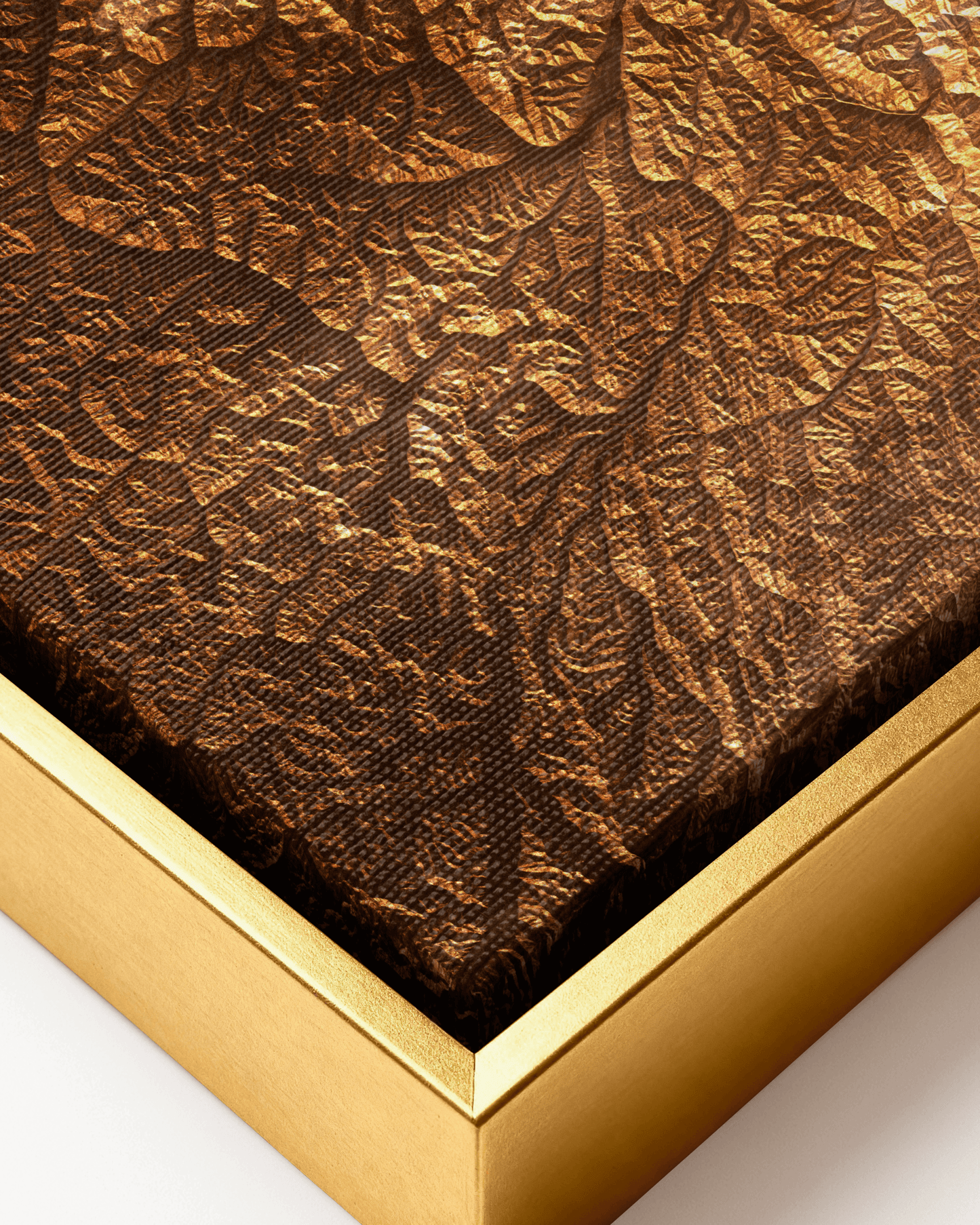
The new Mapelio Editions release of the K2 and Karakoram Range renders the range in exceptional cartographic detail, on artist-grade canvas in a deep bronze and gold palette that reflects both the warmth of the surrounding terrain and the severity of the geology it represents. Printed using latex inks on 400gsm matte canvas and framed in hand-crafted solid wood, it functions as an accurate geographical record and as a considered piece of wall art. As an introduction to a range that few will visit in person, it is a compelling place to begin.